.
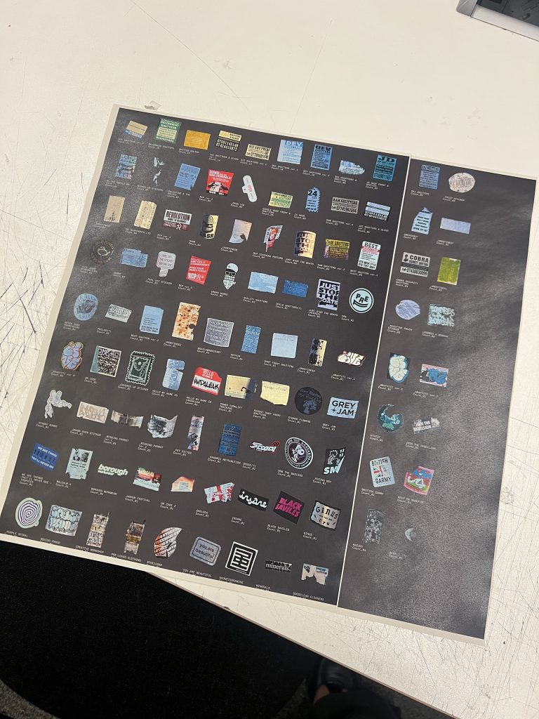
STICKERS!
So many stickers!
Week 3 was interesting – this is when I feel I truly started to understand the brief. I watched Keiller’s ‘Robinson in Space’ which thematically linked my loose threads of interests present at the HS2 site together (1974).
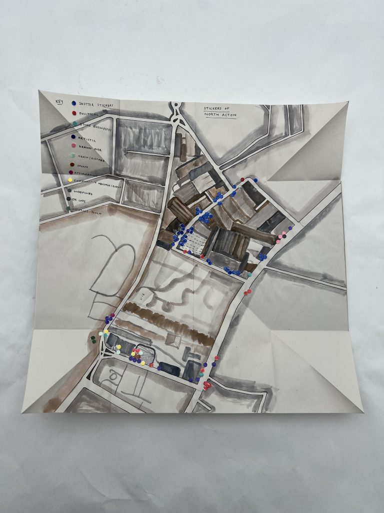
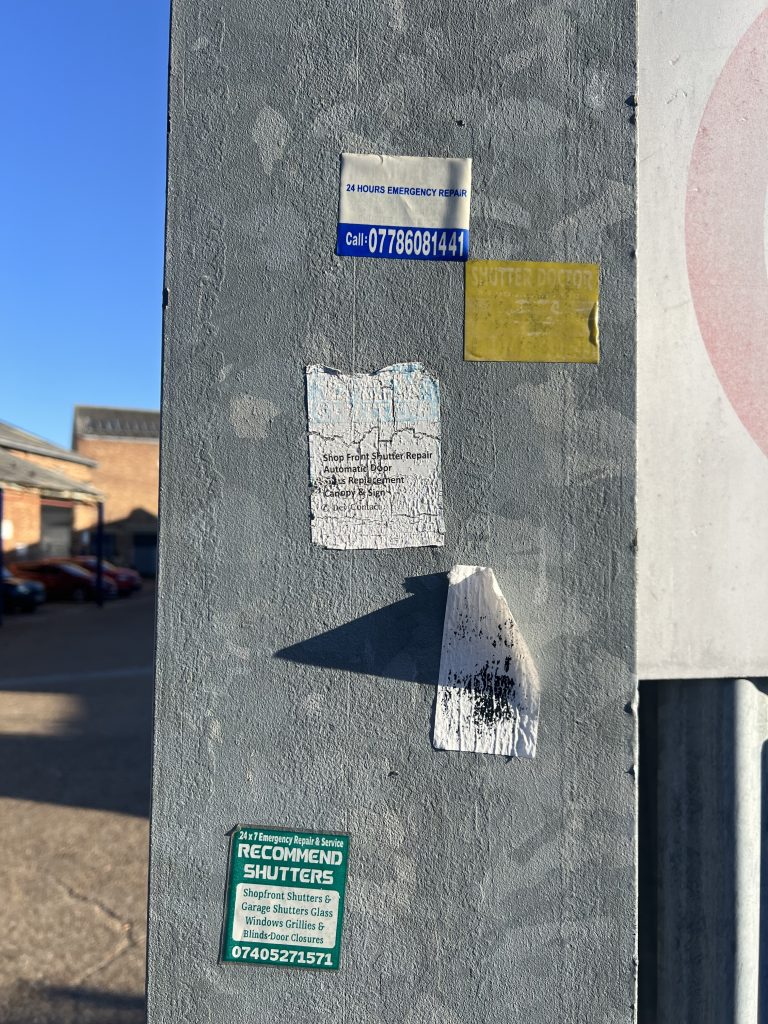
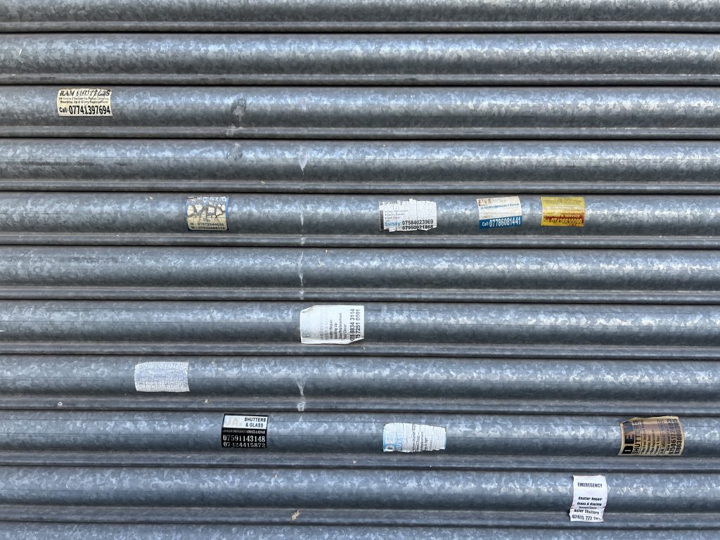
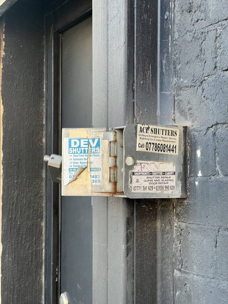
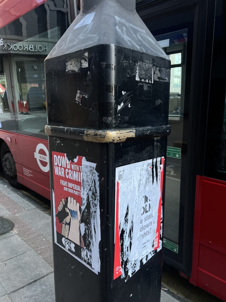
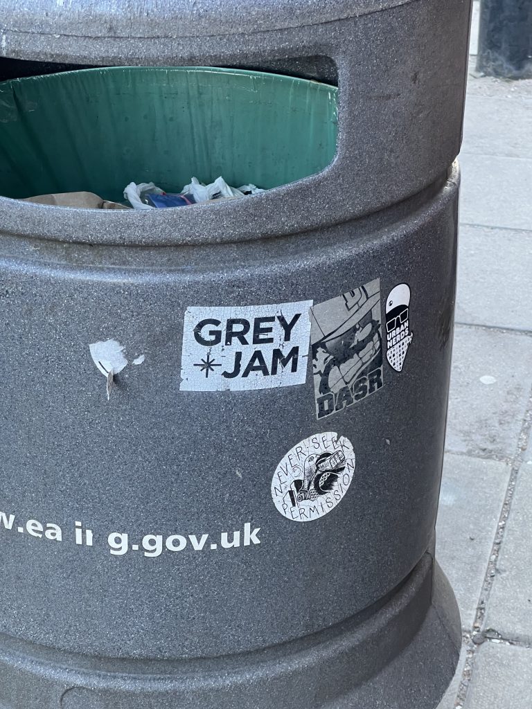
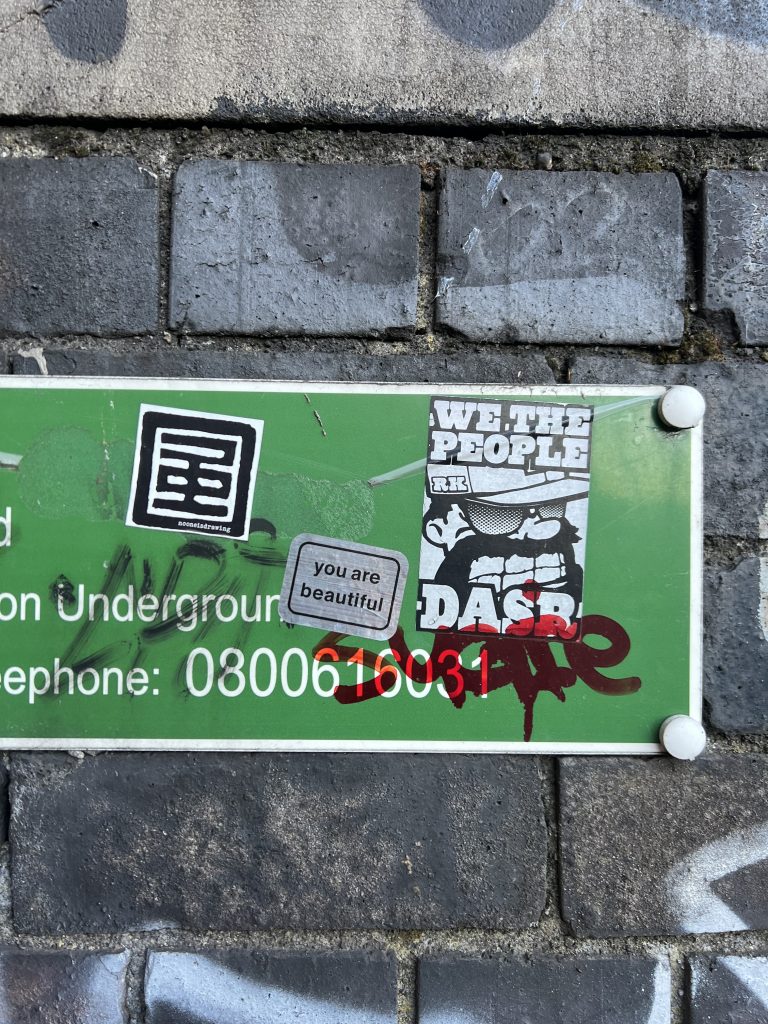
I chose to explore the walkable perimeter of the HS2 site, and looked at the intentional marks the community left behind: the stickers and the graffiti. (I quickly abandoned exploring graffiti because I felt there was enough to dissect by looking at stickers). What initially started as an investigation into the shutter stickers left in the area, turned to what stickers were left overall. Some were artist stickers, some were political, some were community messages, some seemed intentionally ripped or drawn over. And some areas were without any stickers, perhaps an indication that the construction at the site is replacing the old markers of community.
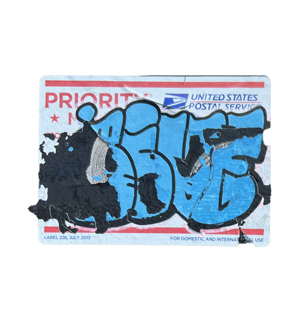
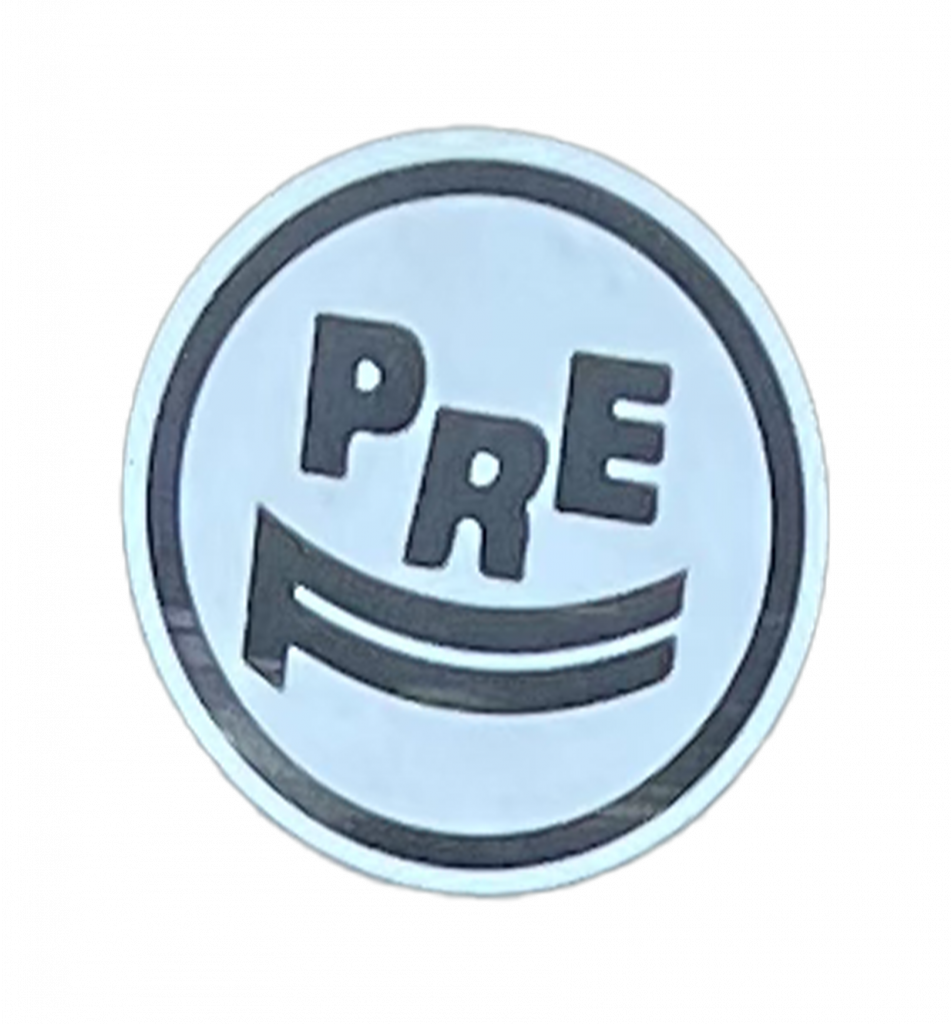
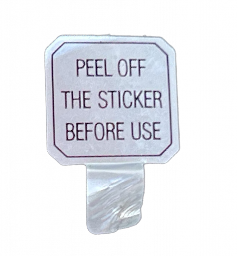
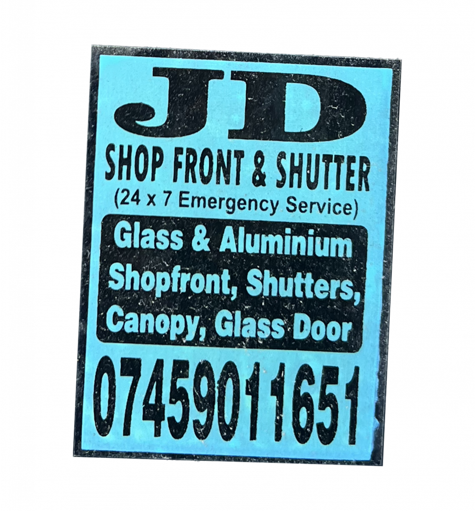
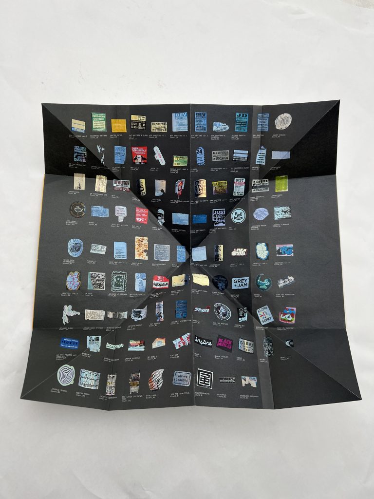
I rigorously photographed every sticker in the chosen area (and where they were located), then individually cut out each unique sticker I spotted to create transparent PNGs, turning my physical stickers into digital ones. I then mapped them into a catalogue, and counted how many times they appeared from most to least.


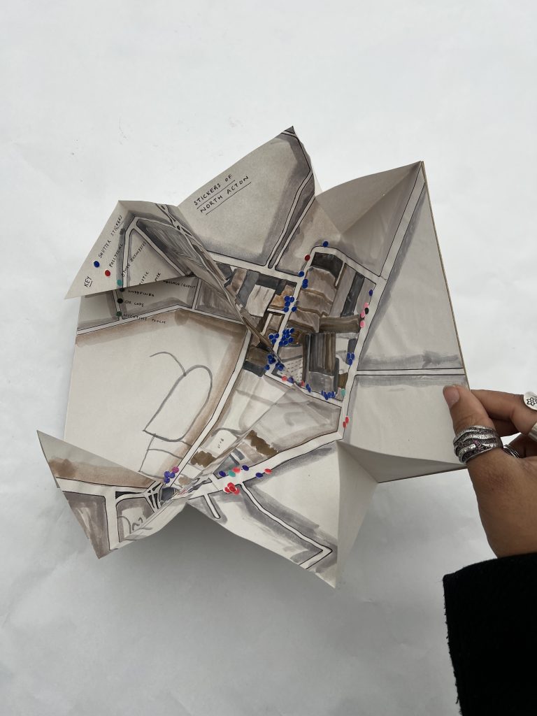
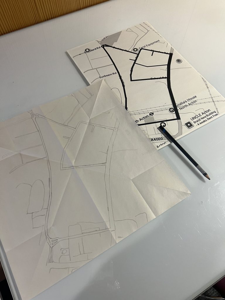
I then decided that I needed the context of the map I walked around, and how the placement of the stickers related to each other, to full communicate what I experienced, in an unbiased way – open to interpretation. So I decided the container for my investigation needs to be a map.
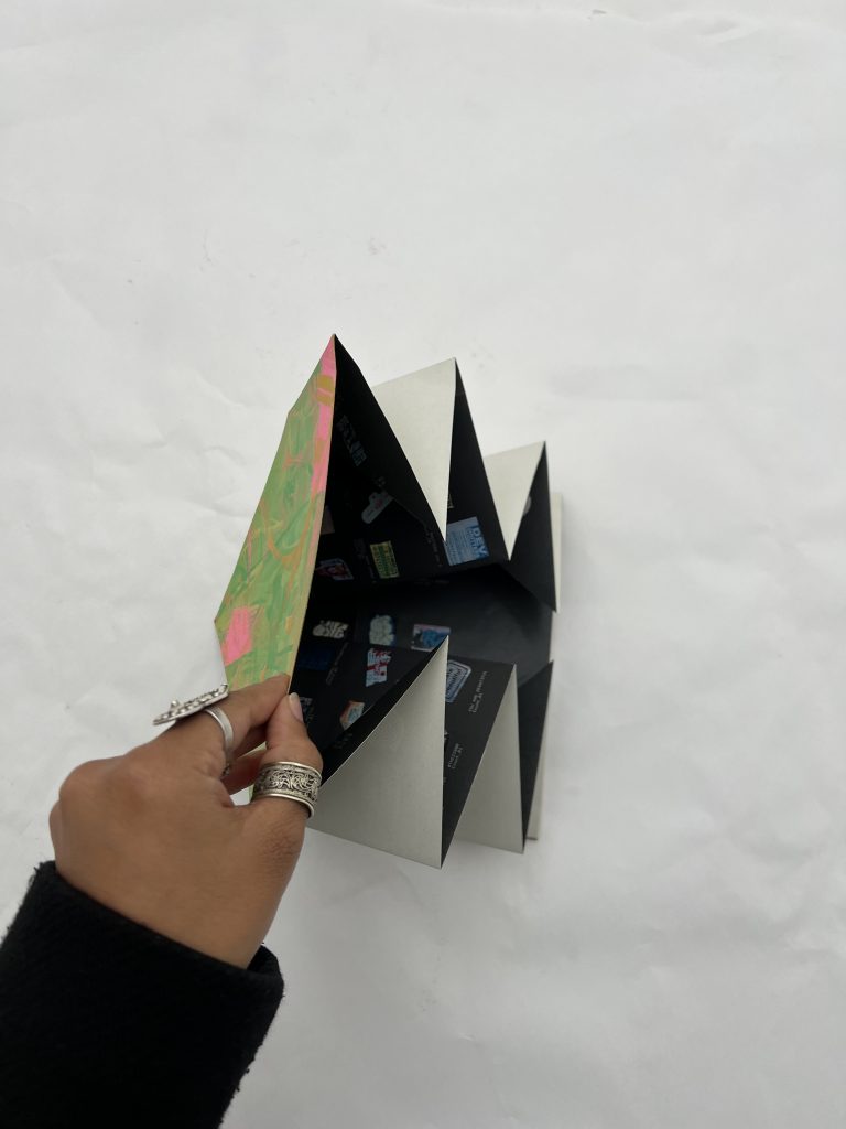
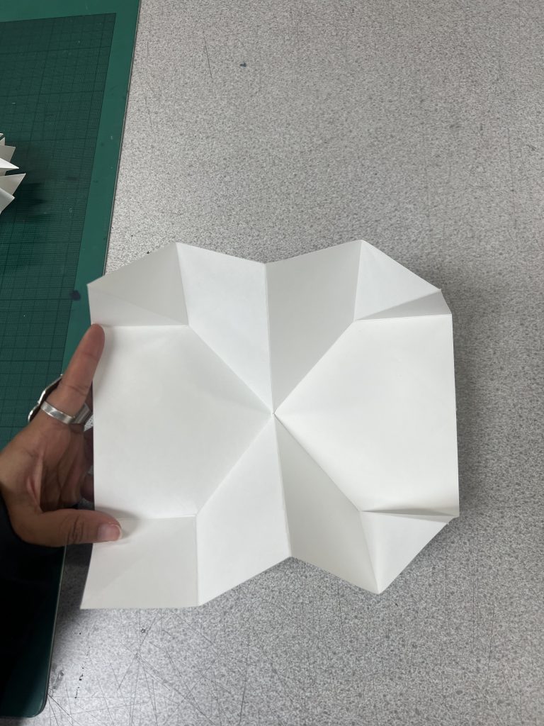
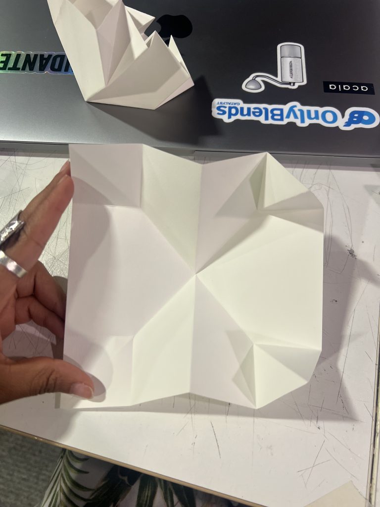
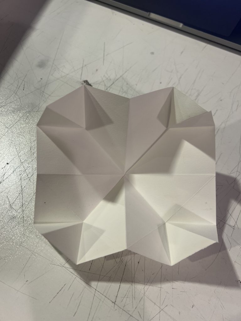
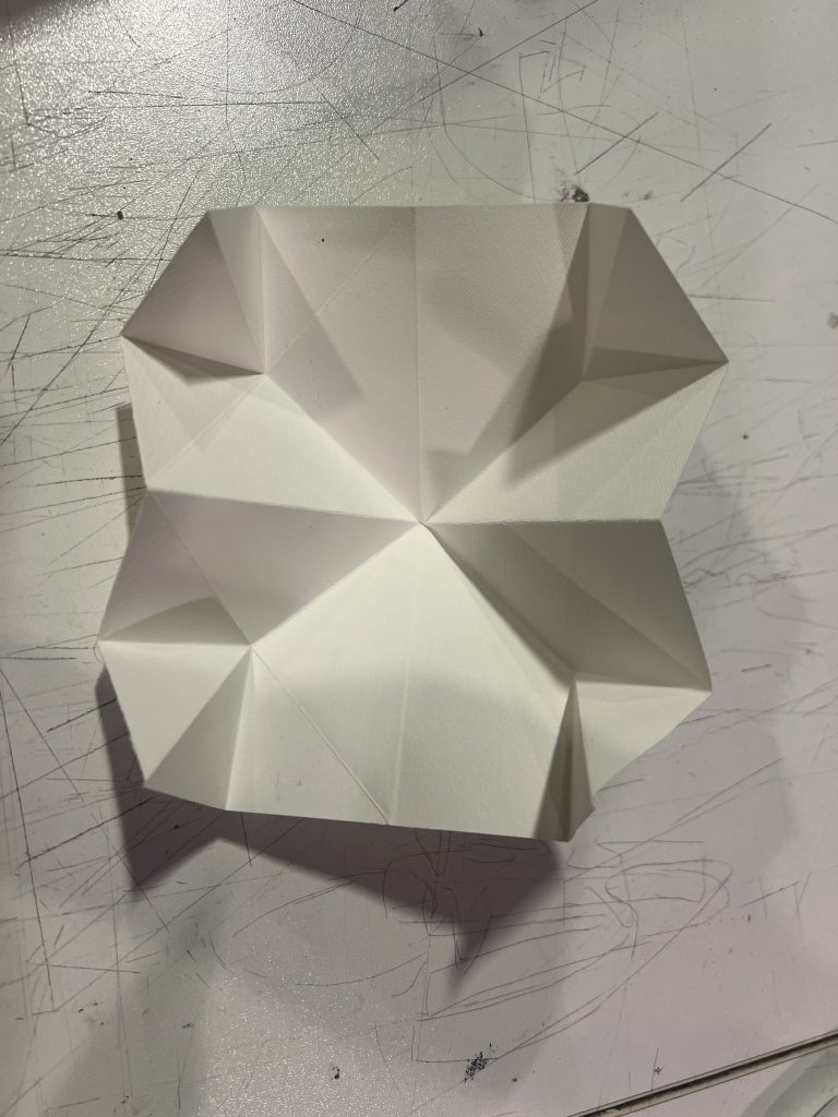
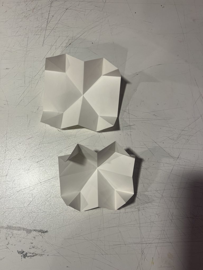
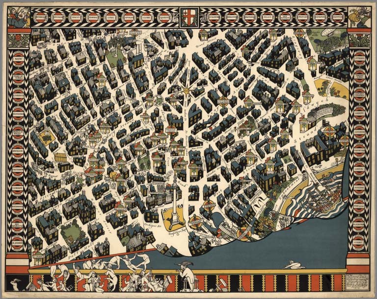
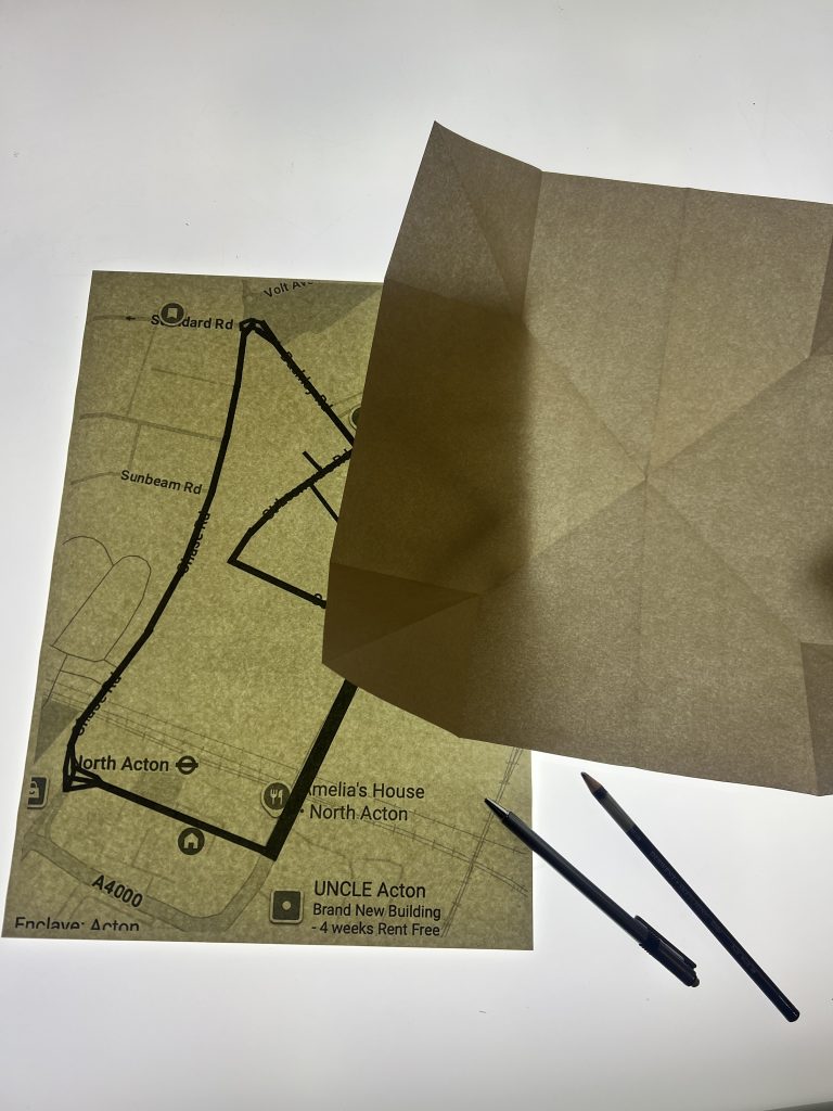
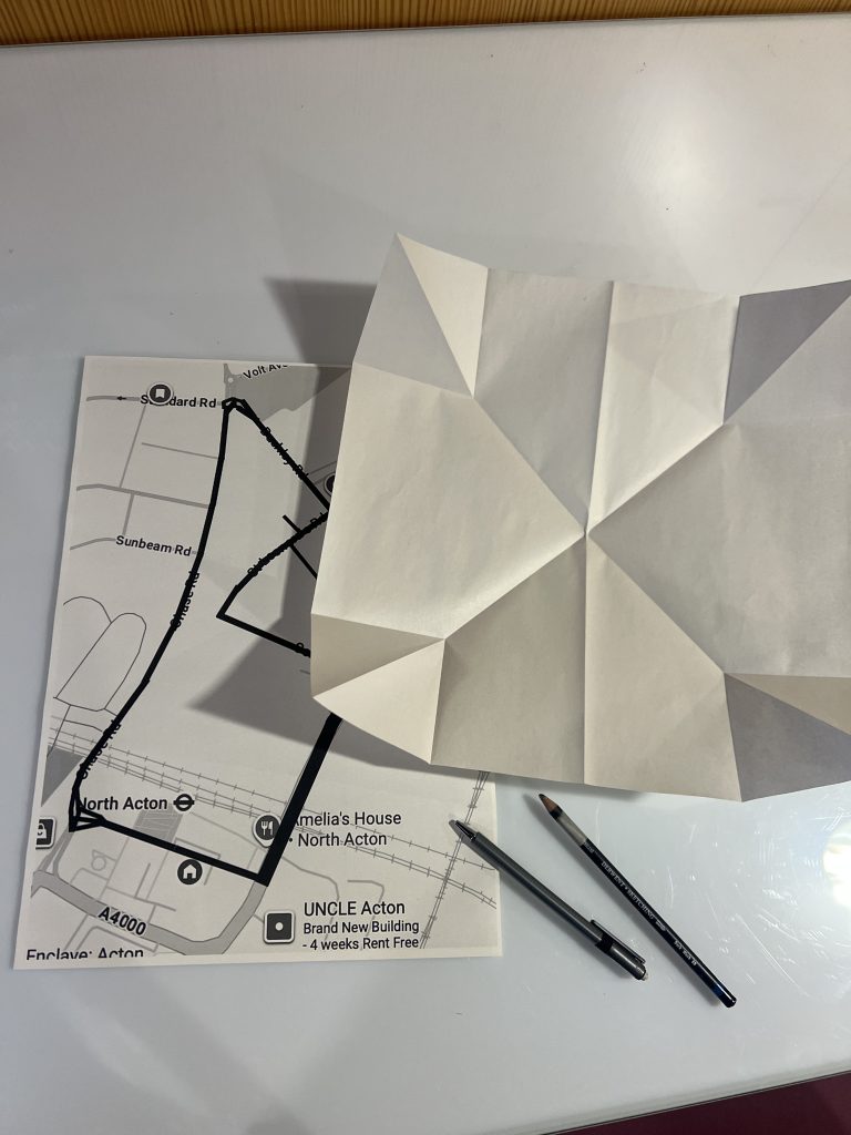
Having just attended the Printmaking workshop tour, I wanted to both explore printmaking further, and also create a silkscreen map to mimic a more tactile quality present in old maps (because I see this as a historic documentation of an area that marks a moment in time, amidst rapid changes). When I expressed this to the practitioner, she suggested hand-drawing or painting a map instead, to go a step further and make it feel more authentic. However, she introduced me to a Portuguese/Turkish way of folding maps, that allows the full map to open up at once. I loved this, and it was coincidental that its folded shape echoed a road way finding sign.
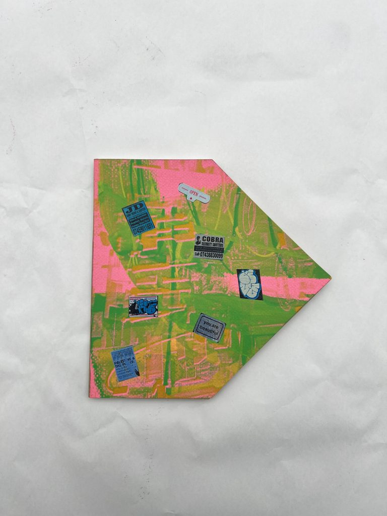
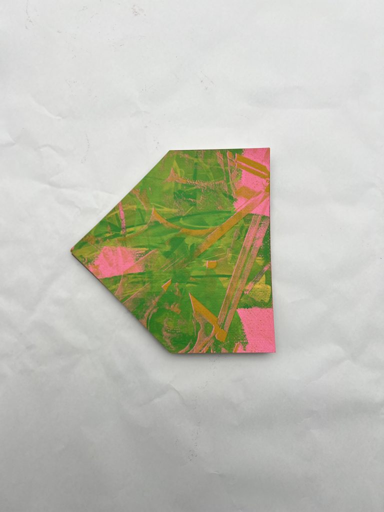
I wanted to recreate this as it fit so well with what I wanted to do, and started to source paper to create this. I found a beautiful silkscreen print discard, that had the same cacophonic layers I felt when I saw stickers layered upon each other in the North Acton area. I decided to turn this into the cover of my map, and layer some of the real stickers I found onto it.
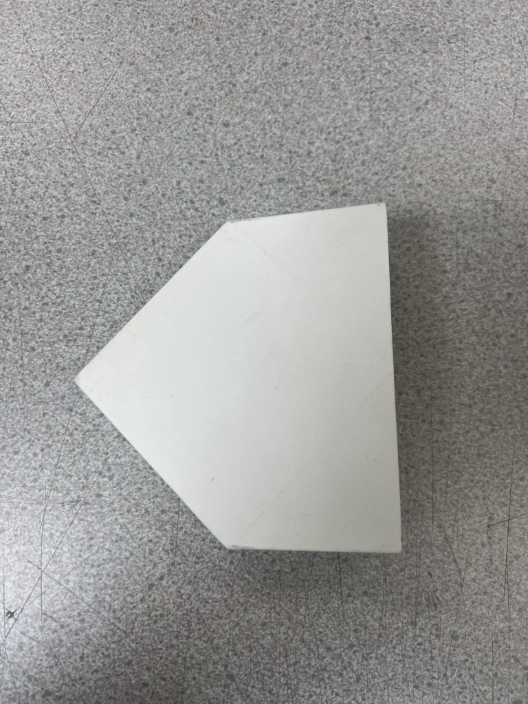
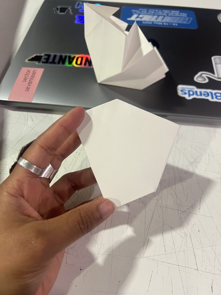
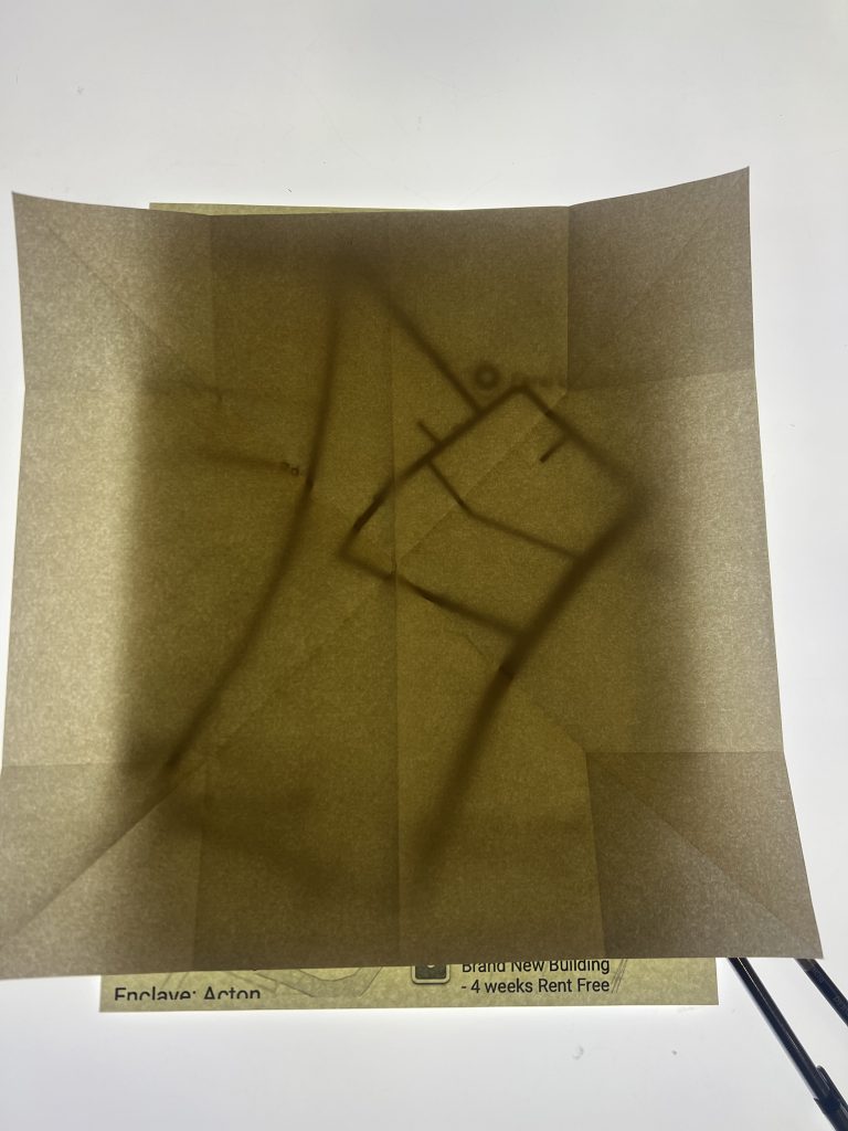
I also decided to experiment with the fold before creating the final version for the map.
After finally learning the fold, I needed to hand draw the map, categories, create and manually add the stickers. This was an entirely tedious task, but as I was doing it, I opened a new line of inquiries for myself:
How does the placement of these stickers help me understand the current community of North Acton?
How will they change in the future?
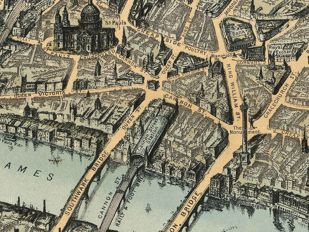
I also decided to model my map on historical maps where the street was more visible (the negative area) than the buildings (the positive area).

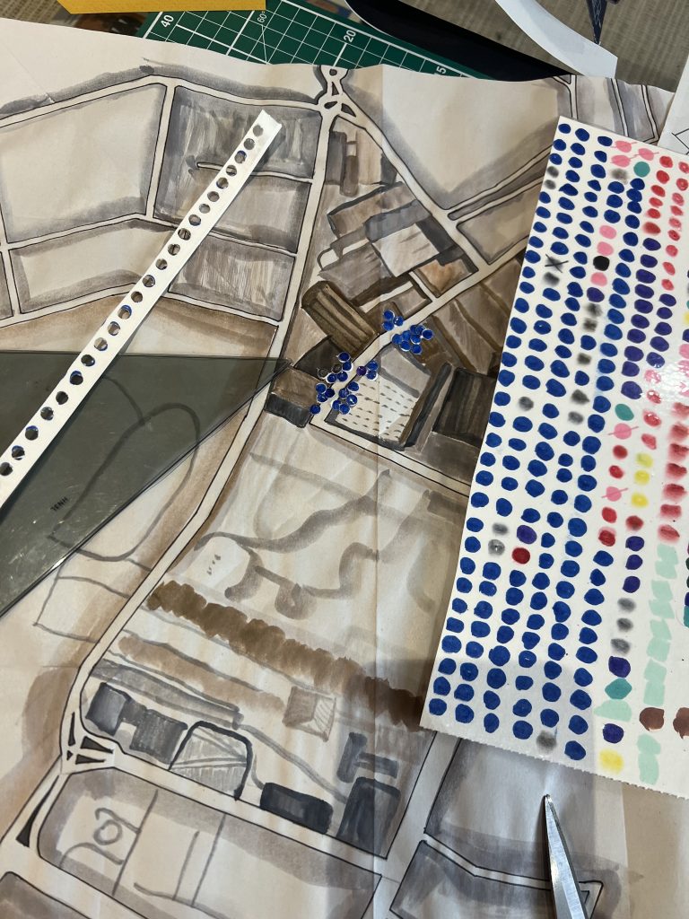
The final outcome was very interesting, and worked well. I wish I had more time to add more to this.